
Erie County ZIP Code Coverage
Erie County's official GIS and service sources show rural 140xx and 141xx routes as well as a dense Buffalo-area 142xx group. The table groups the locality associations that the county publishes, not a claim that each line is a single municipal boundary. For a specific street, the delivery result from USPS controls. The county's published health map and Sheriff service table retain a much wider inventory, including map-only rural codes and special Buffalo codes whose exact USPS role is not named in the local source.
| ZIP | Areas Covered | Post Office | Notes |
|---|---|---|---|
| 14001 | Akron and Newstead | Akron | Also used in the Newstead service table. |
| 14004 | Alden | Alden | County locality table. |
| 14006 | Angola and Evans | Angola/Evans | Verify the individual street with USPS. |
| 14051 | East Amherst | East Amherst | Part of Amherst's seven-ZIP pattern; Clarence mapping also shows it. |
| 14068 | Getzville | Getzville | Amherst locality label. |
| 14072 | Grand Island | Grand Island | Town and city labels must be kept distinct. |
| 14075 | Hamburg | Hamburg | County service locality. |
| 14127 | Orchard Park | Orchard Park | County service locality. |
| 14141 | Springville and Concord East | Springville | Shared locality and municipal context. |
| 14150 | Tonawanda City | Tonawanda | City and town split; check the street. |
| 14201-14204 | Downtown and central Buffalo service areas | Buffalo | Individual station and PO-box coverage varies. |
| 14206-14216 | Buffalo neighborhoods, including Kaisertown, East Side, North Buffalo, and University-area addresses | Buffalo | Postal borders do not equal planning neighborhoods. |
| 14217 | Kenmore | Kenmore | County service locality. |
| 14221 | Williamsville and Amherst | Williamsville | Amherst's other major service code; Clarence mapping also shows it. |
| 14223 | Town of Tonawanda | Tonawanda | Do not confuse it with Tonawanda City. |
| 14225, 14227 | Cheektowaga and Gardenville | Cheektowaga/Gardenville | Shared city and locality context. |
| 14226 | Eggertsville and Snyder | Amherst/Eggertsville | One code can have several locality labels. |
| 14231, 14233, 14240, 14241 | Buffalo special, unique, PO-box, or service entries | Not individually named locally | Do not infer residential coverage; verify with USPS. |
| 14260, 14261, 14263-14265, 14267, 14269-14270, 14272-14273, 14276, 14280 | Buffalo institutional, university, government, or special-service entries | Exact status not stated in county locality table | An institution or PO box can use a code without defining a neighborhood. |
For the rest of the official map inventory, the county groups codes across 14001-14018, 14020-14034, 14043-14059, 14061-14099, 14101-14126, 14127-14145, 14150-14199, 14201-14229, 14231-14241, and 14260-14280. Some are map-only rural or special entries. Use the county's postal lookup to narrow a search, not as a substitute for address-level verification.
Erie County ZIP Code Quirks
Amherst is the clearest local warning against equating a postal place with a municipality. The Erie County Sheriff's Civil Enforcement service table, dated January 2, 2025, says Amherst spans seven codes and gives Amherst 14221 and East Amherst 14051 as a practical example. A street can also use a post-office locality that differs from its town. Buffalo's planning-neighborhood names add another layer; the city has 35 planning labels, but they are not postal boundaries.
The Erie County Sheriff's locality and service table is the source used for many of the county's locality examples. The captured page is shown here.
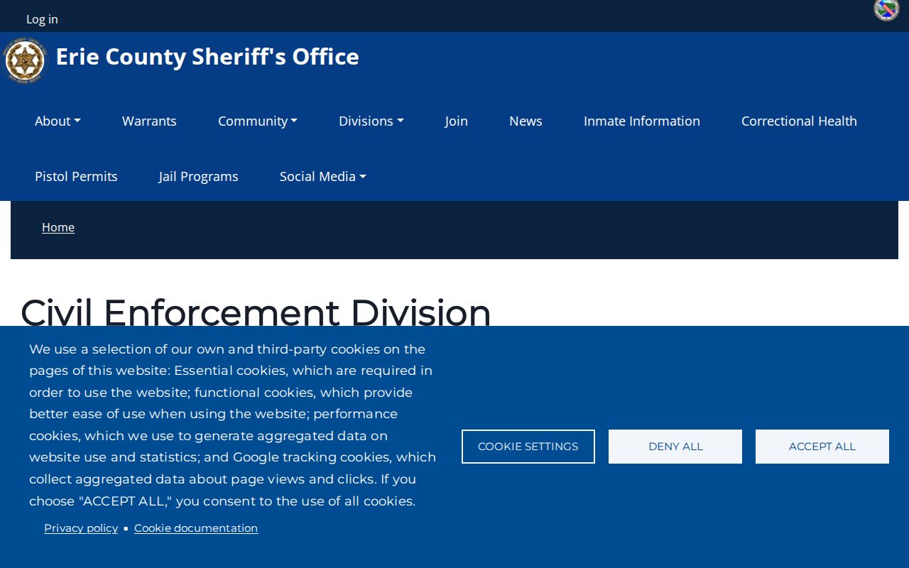
Its service labels help identify which locality the county associates with a code, but the labels do not decide the mailing ZIP for every property. County sources also identify Buffalo special, institutional, university, government, and PO-box-related entries without supplying an exhaustive USPS classification for each. Preserve that uncertainty in a research note instead of turning a post-office identifier into a conclusion about a person or neighborhood.
Search Erie County ZIP Codes
A ZIP-wide result is usually a map, parcel, aggregate, or licensed-record result, not a complete list of people. Start with an address you already know and separate three layers: the USPS delivery address, the municipal situs address, and the county parcel's legal description. Erie County Real Property Tax Services searches by address, owner name, or SBL tax identifier. The GIS viewer adds a ZIP layer and parcel context, but the county calls the map generalized information rather than a legal survey.
- Use the USPS address lookup to confirm the delivery ZIP for the exact street address.
- Open Erie County On-Map and compare the ZIP layer with the parcel, municipality, and street. Record the SBL or PIN before following a property record.
- Use the parcel search by the confirmed address or SBL. The public county materials document address, owner, and SBL fields, not a ZIP-only parcel roster.
- For a voter checking their own registration, use the New York lookup with county, last name, first name, date of birth, and ZIP. It is an identity check, not a public browsing tool.
- If an election-purpose request is appropriate, use the Erie Elections form's town, ward, or district scope and follow its statutory restrictions. Do not treat an address field as a general directory.
The Erie County Internet Mapping page introduces the county's mapping service and its available public data. The captured mapping page appears below.
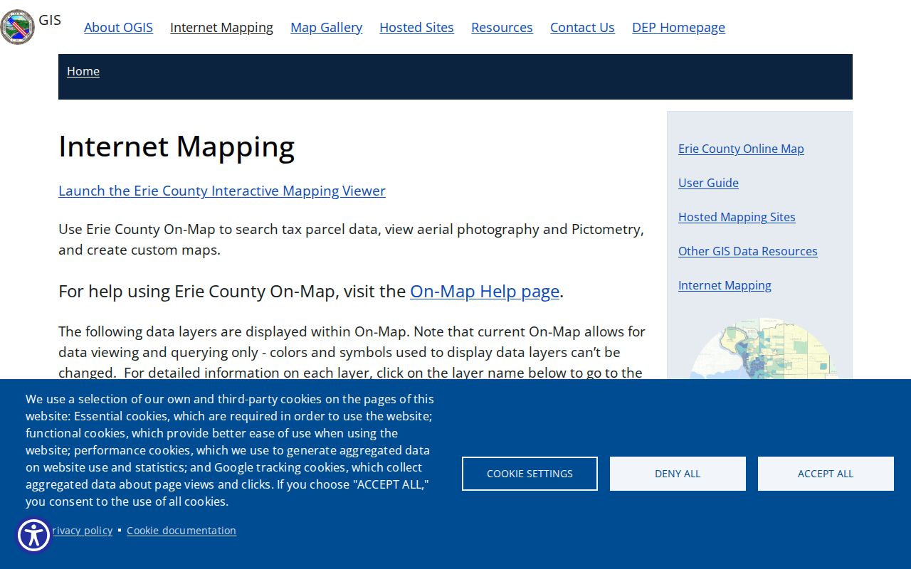
Mapping is the bridge between a postal label and an actual parcel. Once an address has been narrowed to a street, the Erie County street directory explains the address, SBL, and clerk-record chain in more detail.
Erie County ZIP Portal Fields
The New York voter lookup has a ZIP field, but its design is deliberately narrow. A voter selects a county and supplies a last name, first name, date of birth in MM/DD/YYYY format, and ZIP before using Search. JavaScript and cookies are required. A match can return registration or polling information, while a non-match can reflect a changed name, moved address, wrong ZIP, or list-maintenance status. It does not prove that someone has never lived in the county.
| Field | Use in the public lookup | Limit |
|---|---|---|
| County | Selects the expected New York county. | It narrows the identity check; it is not a statewide people list. |
| Last and first name | Required identifying name fields. | Name variants and changes can affect a match. |
| Date of birth | Required in MM/DD/YYYY form. | Not a general public browsing field. |
| ZIP | Required identity field that helps verify the voter's own record. | It does not create a ZIP-wide resident search. |
| Search result | May provide registration or polling information for a match. | A non-match is not a residency finding. |
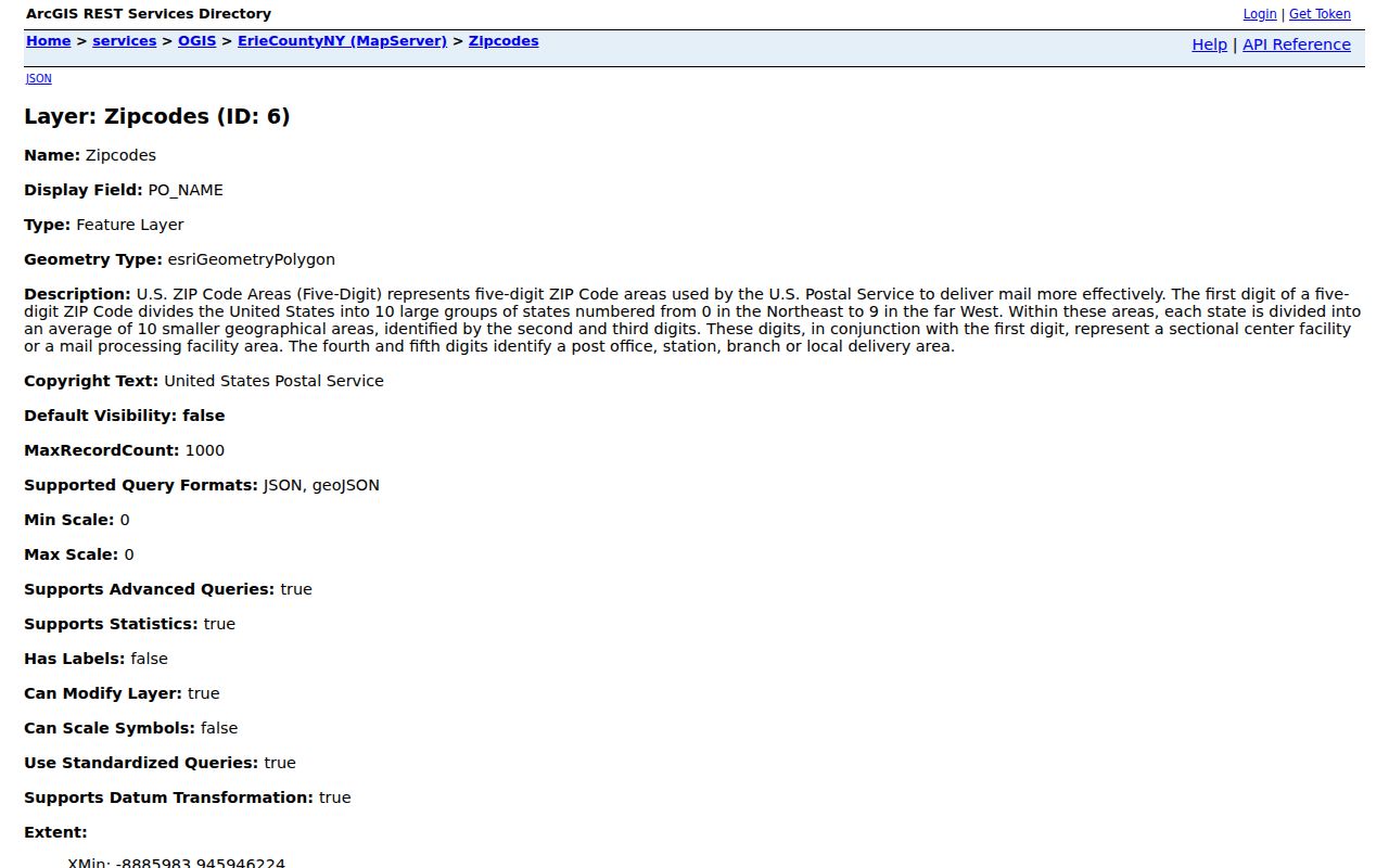
The county GIS ZIP-code layer supplies the local map layer, including a ZIP_CODE field stored as text. Its fourth and fifth digits identify post office, station, branch, or local delivery in the county's description. The layer gives boundary context, not names of residents.
The separate New York DOS Licensee Search accepts county, city, and ZIP filters. The eAccessNY search screen shown below is a name-based state record screen. Neither source is a household list, so a result should be verified against the address and the underlying record.
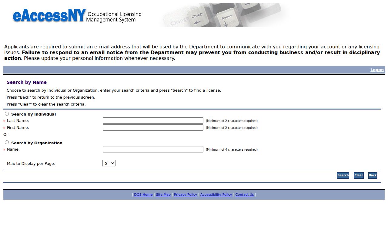
Keep the portal result's date, status, and source beside the confirmed address. A code match alone is too broad to establish a connection to a particular parcel or municipality.
Erie County ZIP Code Limits
ZIP boundaries, city limits, and parcel descriptions answer different questions. USPS assigns a delivery code. A city, town, or village controls the local street and municipal address context. County GIS connects a parcel to an SBL and legal description. A Buffalo postal label can extend beyond one planning neighborhood, while a code associated with Amherst, Tonawanda, Cheektowaga, or Clarence can cross the labels a reader expects. For older records, historic wards and former street names may be more useful than any modern ZIP.
- ZIP and ZIP+4
- The five-digit ZIP identifies a delivery area. ZIP+4 adds four digits that narrow delivery to a smaller segment, such as a side of a street or a large recipient.
- PO-box ZIP
- A code used for post-office boxes. It is a mailing arrangement and does not identify a residential neighborhood.
- Unique ZIP
- A code assigned to a single large recipient or institution. Erie County's map shows special entries, but local sources do not label every one exhaustively.
- Carrier route
- A delivery route used by the postal service. It can organize mail within a ZIP, but it is not a municipal boundary or parcel description.
The practical rule is simple: record the mailing ZIP, municipality, situs address, and SBL separately. That keeps the postal lookup geographic while leaving title, residence, and historical identity questions to the source that actually answers them.
Erie County ZIP Code Inventory
The county health assessment map and Sheriff service table retain a broad Erie-serving inventory beyond the locality rows in the coverage table. The 14001-14018 group covers Akron, Newstead, Alden, Angola, Evans, and other rural or map-only entries. The next county groups are 14020-14034, 14043-14059, and 14061-14099. They include named places such as Boston, Bowmansville, Brant, Clarence, Clarence Center, Colden, Collins, Depew, East Amherst, East Aurora, Eden, Elma, Grand Island, Hamburg, Lancaster, and Lawtons, alongside codes for which the local source supplies only map context.
The 141xx inventory continues through 14101-14126, 14127-14145, and 14150-14199. County publications identify Marilla, North Boston, North Collins, Orchard Park, Sardinia, Springville, Concord, Tonawanda, and Wales-area places within those groupings. The Buffalo-area section contains 14201-14229, four special entries from 14231-14241, and institutional or special-service entries from 14260-14280. A grouped county map inventory is useful for coverage research, but it is not an exhaustive USPS statement of every PO-box or unique-code designation.
Erie County ZIP Address Layers
Every Erie County address needs three separate labels in a careful record search. USPS assigns the delivery address and postal code. The city, town, or village assigns the local street and municipal situs. County property records connect that situs to a parcel, SBL, PIN, and legal description. A parcel card can also show an owner's mailing address, but that mailing address can be outside the county and is not the same thing as the property's physical location. Keeping the layers apart prevents a post-office label from being mistaken for a city line or a deed description.
County On-Map adds parcel, ZIP, street, school district, legislature, wetlands, floodplain, agricultural district, and soil layers. Its ZIP layer is useful for context, yet the county says its GIS information is generalized, updated monthly without guarantee, and not a legal survey. Buffalo's 35 planning-neighborhood labels provide another useful local context, but those areas do not match postal lines. For a disputed current address, check the municipality's building or planning office and county GIS, then use USPS for the delivery confirmation.
Erie County ZIP Tool Context
ZIP-aware public tools serve different purposes. USPS confirms delivery information. Erie County GIS supplies map context. The New York voter lookup uses ZIP as one of several required identity fields for a voter checking their own registration. Buffalo permit searching emphasizes an exact address, date range, correct ZIP, and the spelling-out of numbered streets; the city's public-data page says permit data begins January 2, 2007, while code-violation data begins March 28, 2016 and is updated about every two weeks.
The state Licensee Search accepts last or first name, type, county, city, and ZIP filters. The New York sex-offender registry also permits one search choice of last name, county, or ZIP and uses a captcha, but it publishes only the levels that state law makes public and is not a general person finder. Each tool has its own coverage and limits. A ZIP can help narrow a known record, but it cannot establish a household, confirm a municipal boundary, or turn a public database into a complete resident roster.