
Erie County Neighbors Through Block Sources
Public records can describe the parcels around an Erie County address, but they do not create a complete list of neighbors. The GIS parcel map is best for block geometry and parcel identifiers. The tax system adds owner and mailing fields. The Clerk’s instruments describe transfers or encumbrances. Permit and code records supply property events. A historical reverse directory can supply a date-specific listing, while a community group can offer a public meeting or contact channel without releasing private membership.
| Source | What It Shows About a Block | Access |
|---|---|---|
| Erie County GIS parcel map | Adjacent parcel geometry, owner fields, SBL/PIN, property class, and mapped context | Public viewer; generalized, not a survey |
| County tax parcel system | Current owner, mailing and situs address, assessment, and exemption fields | Online parcel search; current record snapshot |
| Erie County Clerk instruments | Transfers, liens, mortgages, legal descriptions, and parties for each parcel | Modern index online; older books, office research, or request |
| Buffalo permits and code cases | Construction or violation activity by address/SBL, with dates and status | Public data or ePermits; incomplete and date-limited |
| Reverse directories | Historical address listings and owner or resident indicators | Library, digitized collection, hard copy, or microfilm by year |
| Block clubs and associations | Public civic contact, meetings, neighborhood context, and events | Organization-controlled; member information is not public |
Owners, tax mail recipients, permit applicants, and historic directory entries are separate categories. A parcel result cannot establish who is currently living next door, and a missing result can reflect coverage, timing, a move, or a privacy protection.
Map Erie County Neighbors Parcel by Parcel
The adjacent-parcel method starts with a known address and moves outward only through public parcel evidence. Erie County On-Map supports address, owner, and SBL searching, clickable parcel polygons, map layers, and a Find Data query/export tool. The parcel map is generalized. Confirm important fields in the tax system, then use the Clerk record when a transfer or legal description needs verification.
- Find the target situs address or SBL in the GIS viewer and record the current parcel’s SBL, PIN, municipality, property type, and mapped boundary.
- Zoom to the block and click each adjoining polygon. Preserve the parcel identifier, owner field, mailing field, dimensions, and class without turning the set into a household roster.
- Confirm each candidate in the county tax search, noting the roll year and whether a mailing address differs from the situs address.
- Use the SBL, legal description, owner, map number, or book/page in the Erie County Clerk index when a deed, mortgage, lien, or title change is relevant.
- Attach a planning-neighborhood label or public civic contact only after checking the City’s map or organization source for the correct block.
The full property-and-deed chain for a named road belongs in the Erie County street directory. A block search should remain tightly focused on the adjoining parcels and the civic context around one address.
Erie County Neighbor GIS Fields
Erie County GIS exposes more than a map pin. Its public parcel-layer inventory includes PIN, SBL, address number and name, narrative or legal lines, frontage, depth, assessed or calculated acres, class, property description, owner fields, mailing lines, school district, deed date, and roll. These values form a reproducible block note when paired with the date searched. They do not show every person connected to a parcel.
The Erie County parcel-data page explains the county’s public parcel-data access and historical data availability.
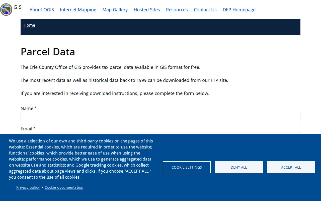
The parcel-data route is useful for checking the field definitions behind a block map before relying on a short popup label.
County GIS says its mapped parcel information is a subset of the New York State Real Property System and is updated without a guarantee. Treat SBL and PIN as cross-reference tools, not as a boundary survey or a substitute for the recorded legal description.
Buffalo Neighbors and Planning Labels
For Buffalo blocks, the official planning map adds a neighborhood label that is different from a ZIP, ward, or election district. Its 35 labels include Riverside, Black Rock, North Park, Parkside, Kensington-Bailey, Broadway-Fillmore, Lovejoy, Seneca-Babcock, First Ward, Fruit Belt, Allentown, West Side, Elmwood Bryant, and Bidwell. A current planning label helps place a parcel in a civic context. It does not prove a historical ward or identify a private household.
Historical blocks need extra care. Black Rock was annexed to Buffalo in 1854, and older directories or maps can use a village, ward, or street-name form that differs from a current GIS display. Pair the modern parcel with the relevant year, former street name, and legal description before assuming that the same block label reached backward unchanged.
Erie County Neighbor Voter Records Have Limits
New York’s public voter lookup is for a voter to confirm their own record. It asks for county, last name, first name, date of birth, and ZIP, and it is not a search for people on a block. A no-result may reflect a name variation, ZIP, move, inactive status, or protected registration. It does not demonstrate that an address is empty or that a person never lived nearby.
An Erie County voter-file request is more specific. The form allows a defined geographic scope such as town, ward, or district and asks the requester to select fields, format, and an elections purpose. Election Law §3-103(5) controls use of registration lists, while Election Law §5-508 protects qualifying confidential registrations. Voting history, when lawfully supplied, records participation rather than ballot choices. Do not republish address-level voter data as a neighbor directory.
Note: A block-level voter question should begin with the Board of Elections’ lawful request process, not with a public attempt to rebuild a private address list.
Erie County Neighbor Block Contacts
Community organizations are the people-facing layer of a block, but their public purpose is contact and participation, not disclosure of member information. The Buffalo Board of Block Clubs of Buffalo & Erie County is an umbrella for block clubs, associations, and coalitions. The City identifies it as a nonprofit rather than a city agency and states that it does not release member, leader, address, or phone information. Public meetings and organization contacts remain the appropriate route.
| Community resource | Public role | Useful block question |
|---|---|---|
| Buffalo Board of Block Clubs | Umbrella civic contact and monthly-meeting route | Which public group or meeting serves the area? |
| Old First Ward Community Association | Named City planning community organization | What public neighborhood activity is listed for the First Ward? |
| South Buffalo Community Association | Named City planning community organization | Which public contact or event is available for South Buffalo? |
| Seneca Babcock Community Association | Named City planning community organization | Which civic channel matches the planning neighborhood? |
| North Buffalo CDC or Valley Community Association | Named City planning community organization | Which organization may provide a public program or meeting lead? |
Confirm a group’s current status and contact directly. Erie County Veterans Services also lists public American Legion post contacts by place, which can lead to public events or historical material, but organization rosters are normally not public.
Erie County Neighbor Permit Events
Buffalo’s permit and code records can place a property event on a block timeline. The public-data inventory says permit records begin January 2, 2007 and code-violation material begins March 28, 2016. The code dataset can show address, SBL, case number, property class, code, and active or closed status. It is useful for a property’s public administrative history, not for identifying current neighbors.
The City of Buffalo public-data portal describes the available permit and code datasets.
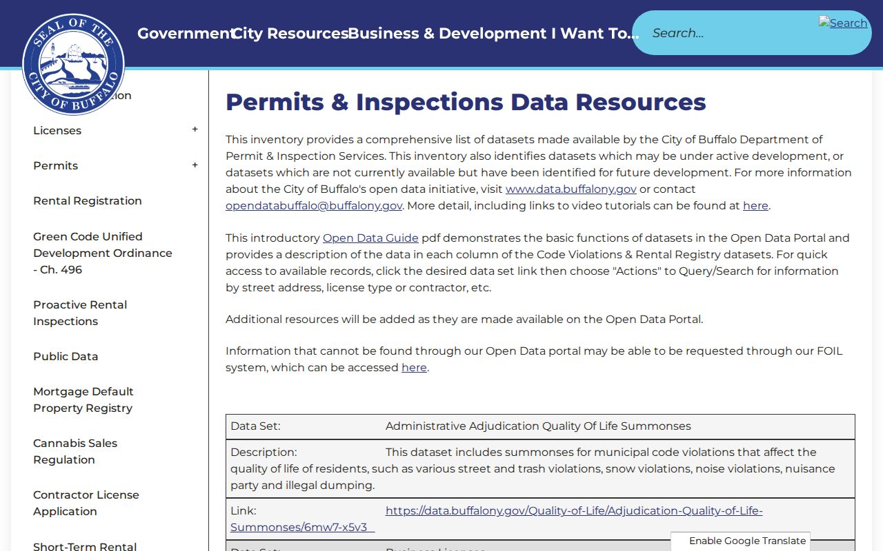
The portal shows why an address search needs a date and record category. Older files may not be digitized, and a record’s responsible party is not necessarily the current occupant.
The Buffalo Code Violations dataset displays the address, SBL, and status filters used for a focused block check.
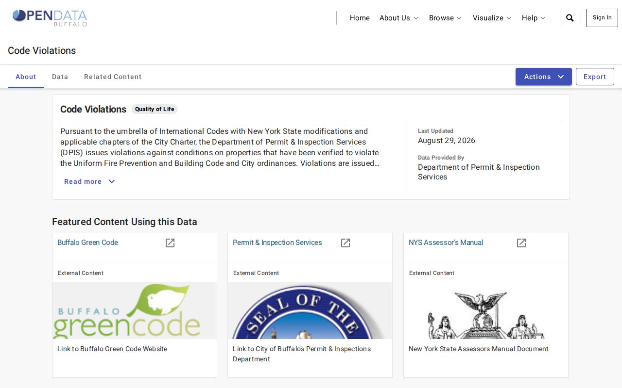
A code-case result can anchor a date or status, but it should be verified against the source record and never used to draw conclusions about a household.
Erie County Neighbor Sources Compared
Official sources disclose the record category, search date, field boundaries, and custodian. Commercial neighbor tools often combine address history and marketing data from mixed periods. That can create a stale or merged household result. The difference matters on a dense block, where a parcel can cover several units and a tax owner can have a mailing address far from the situs.
| Source category | Strength | Boundary to respect |
|---|---|---|
| Official parcel, deed, permit, and code sources | Specific custodian, dated fields, and defined record purpose | Shows public property or administrative evidence, not a full household roster |
| Commercial neighbor-lookup category | May offer a quick address-history lead | Can be stale or merge people; it is not proof of who lives next door |
| Public civic organization information | Meeting, event, and community context | Member names, private contacts, and internal rosters remain organization-controlled |
Use the official source when a record must be checked or corrected. A category-level comparison can help choose the next custodian, but it cannot fill the private gaps around an address.
Historic Buffalo Neighbors Need Old Context
A historic neighbor may be a shop, boarding house, church, factory, or public institution rather than a modern household. For a dated block, compare the current parcel geometry with old tax maps, Sanborn maps, reverse directories, and the recorded legal description. The Buffalo & Erie County Public Library holds city directories, census material, newspapers, yearbooks, and Sanborn resources. Its 1917 Rural Directory can add a rural Erie County naming source that urban directories omit.
Use a former street name where needed. The official Buffalo guide preserves pairings such as Amherst and Ferry, Porter and Guide Board, Seneca and Seneca Mills, and South Park and Ohio. Then record the source year, ward or election-district notation, and the parcel’s legal description. This leaves an honest trail when a current street map and a historical entry do not line up cleanly.
Note: Historical parcel continuity depends on the legal description and dated source, not on a modern neighborhood label alone.
Privacy for Erie County Neighbors
Renters, household members, utility customers, delivery recipients, and people using protected addresses are not a lawful block roster. New York’s Address Confidentiality Program can provide an eligible participant a secure Albany substitute mailing address and requires government agencies to accept it. It does not erase every earlier public record. Confidential voter registration is separately maintained for qualifying people, and an absence in a public result should never be explained or challenged as a way to locate someone.
New York stalking and harassment laws apply to harmful conduct even when individual details began in public records. If a record appears wrong, verify it with the custodian and stop amplifying the match while the correction process is checked. When a suspicious deed-copy letter, court demand, or privacy-removal solicitation arrives, navigate independently to the official agency site rather than using a number or QR code printed in the notice.
Lawful use. Erie County neighbor research is limited to personal, lawful property and civic questions. Do not use public records to stalk, harass, intimidate, expose a protected location, or build a private-household list.